
Quick Answer
What is a construction site survey and why does it matter for multi-site programs?
A construction site survey documents existing conditions, infrastructure, and site characteristics before design or construction begins. For multi-site programs, systematic site surveys prevent costly field conflicts, accelerate permitting timelines, enable accurate cost estimation, and deliver consistent data across all locations. Advanced survey technologies including 3D laser scanning and reality capture reduce change orders by 30-40% compared to traditional measurement methods, delivering measurable ROI that multiplies across entire portfolios.
Introduction
Most organizations treat site surveys as a compliance checkbox. Smart organizations recognize that comprehensive site surveys prevent the costly conflicts, delays, and change orders that slow programs across hundreds of locations.
The difference between basic and strategic surveys comes down to understanding what information prevents problems versus what satisfies minimum requirements. Traditional surveys document what exists. Strategic surveys identify what will require attention, what enables opportunities, and what requires resolution before design decisions lock in costly solutions.
At Sevan Multi-Site Solutions, we’ve completed over 100,000 site surveys across thousands of locations, surveying over 1.5 billion square feet for brands managing nationwide expansion programs. Organizations investing in comprehensive documentation reduce change orders, accelerate permitting, and prevent field conflicts that cost tens of thousands per location.
What we will cover in this guide:
- Why site surveys matter for multi-site programs and how they prevent costly problems
- Survey types and technology options matching project requirements
- The seven-phase survey process that prevents problems rather than just documenting conditions
- ROI analysis showing measurable value from comprehensive documentation
- Sector-specific survey considerations across all industries we serve
What Is a Construction Site Survey?
A construction site survey documents existing physical conditions, infrastructure, and site characteristics that inform design decisions and construction planning. Surveys capture measurements, locations, elevations, utilities, access points, and constraints affecting project feasibility, cost, and timeline.
For multi-site programs, surveys prevent costly conflicts discovered during construction when design assumptions don’t match reality. They identify structural elements, mechanical systems, utilities, and site constraints before drawings are finalized, enable accurate cost estimation by documenting conditions requiring additional work or existing infrastructure that can be reused, and accelerate permitting by providing complete information jurisdictions require for plan review. Comprehensive surveys also produce highly accurate as-built documentation of building characteristics and conditions, including floor plans, exterior elevations, roof plans, ceiling plans, and sprinkler system layouts that serve as the authoritative record for every location in a program.
Standardized survey processes across multiple locations deliver consistent data formats that enable program-level analysis, strategic planning, cost optimization, and timeline coordination.
Types of Construction Site Surveys
Different project types demand different survey approaches. Understanding survey types enables organizations to match scope with project needs while avoiding unnecessary costs or missing critical information.
Survey Type | What It Documents | Best For | Key Benefits |
Basic Surveys | Property boundaries, building footprint, access points, visible infrastructure | Simple projects with minimum requirements | Satisfies compliance requirements, lower cost, faster completion |
Comprehensive Surveys | Detailed existing conditions including structural elements, mechanical systems, electrical infrastructure, plumbing, finishes, and site features | Complex renovations and multi-site programs | Prevents costly conflicts, enables accurate cost estimation, supports detailed design coordination |
3D Laser Scanning / Reality Capture | Precise digital models with millions of data points, comprehensive digital twins combining scanning with photography, and immersive virtual tours enabling remote scoping and design review | Complex renovations, multi-site programs, projects requiring highest accuracy | Highest accuracy for complex geometries, comprehensive documentation in single site visit, enables BIM coordination and clash detection, eliminates unnecessary travel for development teams reviewing hundreds or thousands of locations |
Using the right site survey technology in the right situations allows you to create accurate as-built documentation that prevents field conflicts and accelerates design coordination.
The Construction Site Survey Process: 7 Phases Explained
Effective site surveys follow systematic processes that ensure comprehensive documentation while maintaining efficiency. Strategic processes focus on capturing information that prevents problems rather than just documenting what exists.
Phase 1 — Pre-Survey Planning & Document Collection
Pre-survey planning identifies survey requirements, scope, and deliverables that match project needs. This includes reviewing existing records such as prior surveys, GIS data, utility maps, title reports, and as-builts. For multi-site programs, this planning standardizes survey scope and deliverables across all locations.
The planning phase also coordinates access, tenant and owner notifications, and stakeholder communication so field work can proceed on schedule without disrupting operations.
Phase 2 — Desktop Analysis & Research
Desktop analysis gathers critical information before field work begins. This includes title and easement research to confirm boundaries and encumbrances, zoning and code verification for specific jurisdictions, and historical site use research including previous uses and demolitions that could affect utilities or contamination.
For multi-site programs, desktop analysis identifies patterns across locations and enables strategic planning that optimizes survey approaches.
Phase 3 — Field Investigation & Data Collection
Field investigation captures existing conditions through measurement, photography, notes, and technology-assisted data collection. This includes boundary identification, topographic measurement of elevations and contours, utility locating both above and below-ground, site condition documentation including pavement, structures, and drainage, and photo and video documentation using consistent protocols. Field teams also document ADA compliance conditions. These can include accessible routes, ramp grades, door widths, restroom configurations, and accessible parking layouts, allowing capture of the existing state before design and renovation work begins.
Effective field documentation balances thoroughness with efficiency, capturing critical information including structural elements, mechanical systems, electrical infrastructure, finishes, site features, and code compliance requirements without unnecessary detail.
Phase 4 — Technology-Enabled Capture
Technology selection depends on site size, renovation versus greenfield projects, and how the data will be used. Traditional methods using total stations, GPS, and levels work well for boundary and topography where appropriate. 3D laser scanning and reality capture create high-density point clouds for as-builts and BIM integration, often reducing repeat site visits. Drone and aerial surveys work well for large sites, stockpiles, and progress tracking, feeding GIS and orthophotos.
Reality capture also produces immersive virtual tours that deliver significant operational value for multi-site programs. Development teams can remotely scope hundreds or thousands of locations without traveling to each site, which helps eliminate the cost and time associated with on-site scoping visits that can multiply quickly across large portfolios. Architects and engineers also use these virtual tours alongside point cloud data as primary references throughout the design phase, allowing them to verify dimensions, assess existing conditions, and coordinate systems without repeated site visits.
A simple decision matrix: use reality capture when as-built accuracy and design coordination matter; use traditional survey when scope is boundary or topo-only and budget is tight; use drones for large footprints and visualization.
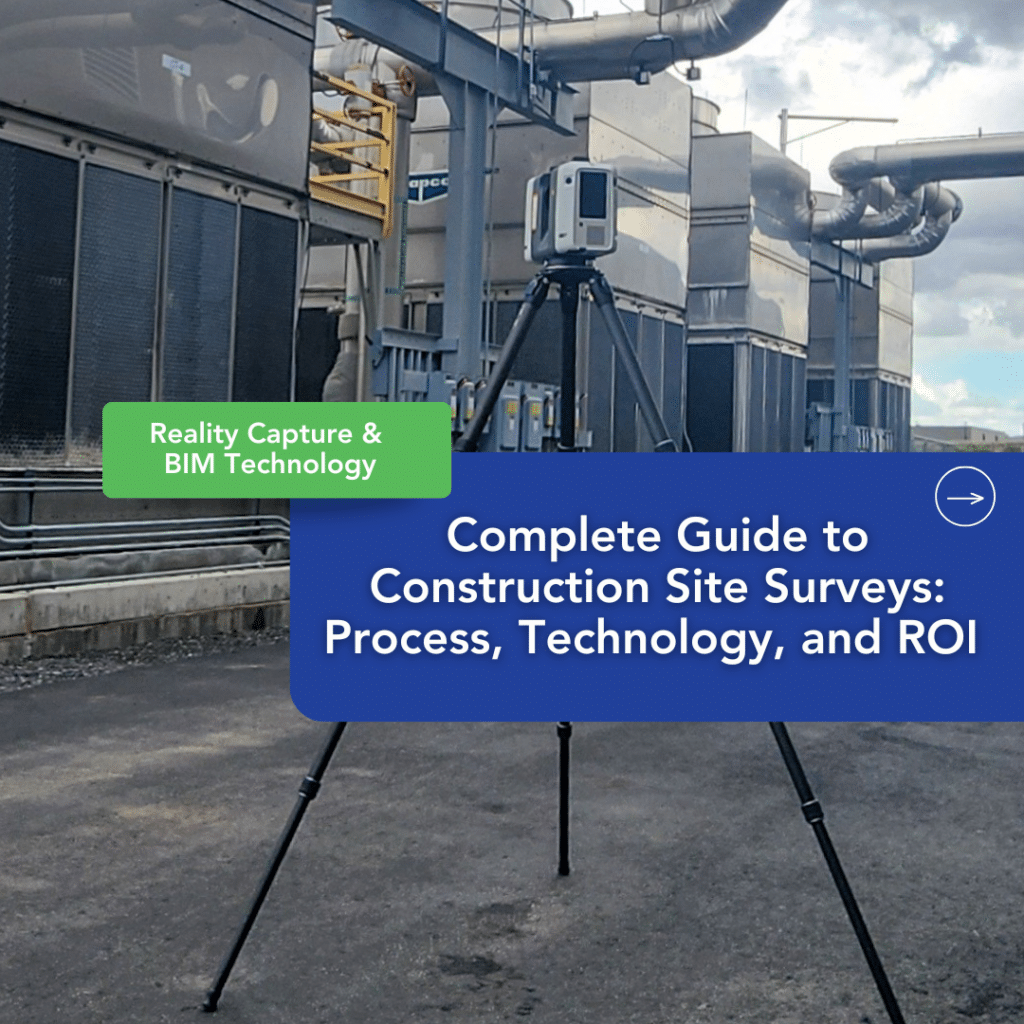
Our reality capture services use 3D scanning technology to create accurate as-built documentation that prevents field conflicts and accelerates design coordination across multi-site programs.
Phase 5 — Data Processing & Analysis
Survey data processing transforms field documentation into usable formats that support design and construction. This includes developing CAD drawings with plan view, contours, and utilities, integrating point clouds with BIM where applicable, and accuracy checks so deliverables meet agreed standards such as ALTA accuracy.
Quality control ensures survey accuracy through systematic verification including field verification of measurements, cross-checking documentation against multiple sources, and review processes that identify gaps or errors before data is used for design.
Phase 6 — Deliverables & Documentation
Deliverables include standard formats such as ALTA surveys, topographic maps, utility overlays, and as-built sheets. Comprehensive programs receive highly accurate as-built documentation of building characteristics and conditions, including floor plans, exterior elevations, roof plans, ceiling plans, and sprinkler system layouts. Where applicable, deliverables also include ADA compliance documentation covering accessible routes, ramp slopes, door clearances, and accessible parking inventories. Digital delivery includes CAD files, point clouds, PDFs, and links to reality capture and BIM models. As-built documentation aligns with program standards for handoffs to design and construction teams.
Effective data management ensures survey information reaches stakeholders in usable formats through centralized data storage, organized file structures, access control, and version control.
Phase 7 — Integration with Program Management
Survey data feeds into design, permitting, and construction so decisions are site-specific. Survey archives support ongoing site monitoring, verification, and future capital planning. Our program management approach integrates survey coordination with overall program execution, ensuring surveys support design and construction rather than operating in isolation.
ROI Analysis: The Value of Comprehensive Site Surveys
Organizations often view site surveys as a necessary expense rather than a strategic investment. Understanding the measurable ROI from comprehensive surveys demonstrates why smart organizations invest in thorough documentation rather than minimum compliance.
It can be a benefit in areas like:
Cost avoidance
Finding conflicts in design (or pre-construction) instead of in the field can cut change orders by tens of thousands per incident; across a program, savings routinely reach seven figures.
Schedule acceleration
Accurate survey data reduces permitting back-and-forth and eliminates rework; programs using systematic site documentation often finish faster.
Budget predictability
Fewer surprises mean contingency stays intact, and capital plans hold.
Remote scoping efficiency
Virtual tours generated from reality capture allow development teams to assess hundreds or thousands of locations without traveling to each site, reducing travel costs significantly while accelerating program timelines.
Multi-Site Survey Coordination
Multi-site programs require coordination approaches that maintain consistency across diverse markets while accommodating local variations.
Standardized processes ensure consistent survey scope, deliverables, and data formats across all locations, enabling program-level analysis while maintaining efficiency. Effective coordination balances standardization with flexibility—working with local contractor networks, understanding jurisdiction-specific requirements, and maintaining centralized oversight.
Technology platforms enable coordination through centralized data management and real-time visibility into survey progress. Our technology and data analytics capabilities provide the digital infrastructure supporting modern multi-site programs.
Sector-Specific Survey Considerations
Different industry sectors present unique survey requirements based on operational needs, regulatory requirements, and facility characteristics.
Restaurant Sector Surveys
Restaurant surveys document kitchen equipment, ventilation systems, food service infrastructure, and operational layouts affecting renovation feasibility. Our restaurant sector survey experience includes thousands of locations for brands like McDonald’s, Starbucks, and Chipotle where comprehensive surveys enabled renovation programs maintaining operations while delivering brand consistency.
Retail Sector Surveys
Retail surveys document store layouts, fixtures, technology infrastructure, and customer flow patterns. Our retail sector experience includes IKEA, Walmart, and Walgreens where accurate documentation enabled successful multi-site programs maintaining operations during renovations.
Healthcare and Pharmacy Surveys
Healthcare surveys document specialized systems including medical equipment, cleanroom environments, pharmaceutical storage, and regulatory compliance features. Healthcare and pharmacy sector surveys require specialized expertise understanding regulatory requirements and delivering documentation that supports compliance across complex facility portfolios.
Housing and Hospitality Surveys
Housing and hospitality surveys document guest accommodations, common areas, amenity spaces, and operational infrastructure. Our housing and hospitality sector experience includes military housing, multifamily developments, hotels, and extended-stay facilities. Since 2022, we’ve delivered housing projects in 30 states, handling every phase from framing to site infrastructure. Our military housing survey experience enabled rapid disaster recovery and renovation programs maintaining operational readiness.
Grocery Sector Surveys
Grocery surveys document refrigeration, food storage, checkout infrastructure, and customer service areas. Grocery sector surveys support renovation programs maintaining cold chain integrity and operational continuity during facility updates.
Fuel and Convenience Store Surveys
Fuel and convenience store surveys document fuel infrastructure, retail areas, car wash systems, and site features affecting regulatory compliance. Fuel and convenience store sector surveys require expertise understanding environmental regulations and operational requirements. Our experience includes BP, 7-Eleven, and Kroger projects maintaining environmental compliance during renovations.
Common Site Survey Challenges (And How to Avoid Them)
Understanding common survey challenges enables organizations to avoid problems that compromise survey value and create costly issues during design and construction.
Challenge | Impact | Solution |
Insufficient survey scope | Misses critical information causing problems during design or construction | Define scope based on project requirements, include contingency for unexpected conditions, consider program-level needs for multi-site coordination |
Poor quality control | Errors or omissions compromising accuracy and creating problems | Implement systematic quality control processes, verify critical measurements through multiple methods, review documentation before finalizing deliverables |
Inadequate technology utilization | Misses efficiency and accuracy improvements available through modern technology | Evaluate technology options matching project requirements, consider ROI from technology investments, invest in technology delivering measurable value |
Poor coordination for multi-site programs | Lacks consistency enabling program-level analysis, creates inefficiencies | Standardize survey processes across all locations, coordinate execution through centralized oversight, utilize consistent data formats |
Incomplete access coordination | Delays field work and disrupts operations | Coordinate access during appropriate times, understand operating hours and peak periods, establish security requirements and access procedures |
Inadequate data management | Survey information doesn’t reach stakeholders in usable formats | Centralize data storage and backup, organize file structures enabling easy access, establish distribution processes delivering data to stakeholders |
FAQs
What is included in a construction site survey?
Construction site surveys include documentation of existing building conditions, site features, utilities, access points, and constraints affecting project feasibility. Comprehensive surveys include detailed documentation of structural elements, mechanical systems, electrical infrastructure, and finishes. Surveys can also produce highly accurate as-built documentation of building characteristics and conditions, including floor plans, exterior elevations, roof plans, ceiling plans, and sprinkler system layouts along with ADA compliance documentation covering accessible routes, ramp slopes, door clearances, and parking configurations.
How much does a construction site survey cost?
Survey costs vary based on project size, complexity, and type. Basic surveys may cost $1,000-5,000, while comprehensive surveys for complex renovations may cost $5,000-15,000 per location. 3D laser scanning typically costs $10,000-25,000 per location but delivers ROI through reduced change orders.
How long does a site survey take?
Survey duration varies based on project size and complexity. Basic surveys may require 1-2 days, while comprehensive surveys for complex facilities may require 3-5 days. 3D laser scanning typically requires 1-2 days of field work plus data processing time.
What is the difference between a site survey and 3D laser scanning?
Traditional site surveys use manual measurement methods, while 3D laser scanning uses laser technology to capture millions of precise data points creating comprehensive digital models. Laser scanning delivers higher accuracy and enables BIM coordination but costs more. Complex renovations and multi-site programs often benefit from scanning technology.
Why are site surveys important for multi-site programs?
Site surveys for multi-site programs prevent costly field conflicts, enable accurate cost estimation, accelerate permitting, and deliver consistent data formats enabling program-level analysis. Comprehensive surveys reduce change orders by 30-40% compared to basic surveys.
What technology is used for modern site surveys?
Modern site surveys utilize 3D laser scanning, reality capture, mobile field technology, drone surveys, and BIM integration. Reality capture also generates virtual tours that allow development teams, architects, and engineers to remotely review locations and reference existing conditions throughout the design process, which helps reduce on-site visits and can accelerate program timelines. Technology selection depends on project requirements, with complex projects benefiting from advanced methods delivering accuracy and efficiency improvements.
How do site surveys prevent construction delays?
Accurate surveys prevent delays by identifying conditions requiring attention before design begins, enabling proactive coordination that prevents field conflicts, and providing complete documentation that accelerates permitting. They prevent redesign cycles and permit delays caused by incomplete documentation.
Conclusion
Construction site surveys represent far more than a compliance requirement—they’re a strategic investment that prevents costly problems, accelerates timelines, and delivers measurable ROI across multi-site programs.
The difference between basic surveys and strategic assessments comes down to understanding what information prevents problems versus what satisfies minimum requirements. Comprehensive surveys document existing conditions accurately, identify potential conflicts proactively, and enable design coordination that prevents costly field issues.
At Sevan, we’ve completed over 100,000 site surveys across thousands of locations, surveying over 1.5 billion square feet. Our site development services provide the due diligence and planning foundation supporting successful construction programs. Our reality capture and BIM services use advanced 3D scanning technology to create accurate as-built documentation that prevents field conflicts.
Whether you’re planning a single renovation or coordinating surveys across hundreds of locations, our program management approach integrates survey coordination with overall program execution, ensuring surveys support design and construction.
Want to see how comprehensive site surveys have accelerated project delivery across large-scale programs? Explore our case studies or contact us to discuss your specific requirements.
